Utility Focused. Partnership Driven. Outcome Aligned.
EDGE Geospatial helps utilities modernize systems and build the workforce needed for resilient, future-ready infrastructure. Through proven programs and partnerships across government, education, and industry, we deliver stronger utility operations and stronger local workforce capacity.
Interested in partnering with EDGE? Contact us to explore opportunities.

Our Services
Explore our range of services designed to help you move forward with confidence, wherever you're headed next.
-
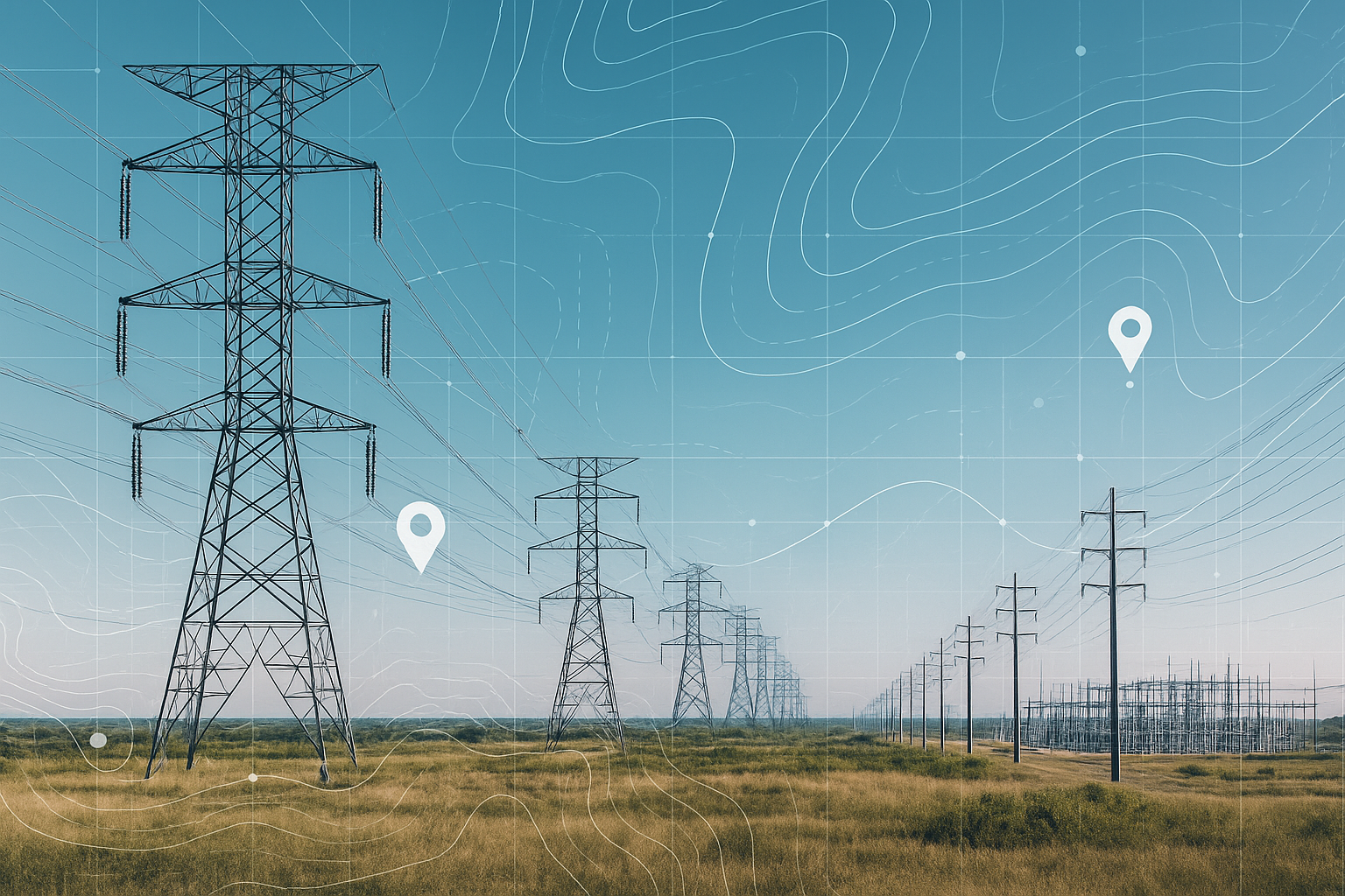
Precision Field Inventories & Asset Mapping. Accurate GIS starts on the ground. We deploy specialized field teams to capture high-fidelity asset data—from pole inventories to vegetation management. Our 'field-first' approach ensures your digital twin matches physical reality.
-
Scalable GIS Support. Your extension of the GIS department. We provide ongoing data maintenance, map production, and system updates, allowing your internal teams to focus on high-level analysis.
What We Do
-
Geospatial Solutions for Utilities
Mapping, field data collection, asset management, dashboards, and digital integration that support grid modernization and operational excellence.
-
Workforce Development & Training
Industry-aligned training pathways that prepare talent for GIS, field operations, and digital infrastructure roles.
-
Community Capacity & Partnerships
Programs that strengthen local talent pipelines, and support community engagement efforts. We support STEM education for K-12, universities, and local residents.
Why Partner With EDGE
We strengthen operations through accurate mapping, data integration, and GIS consulting.
We expand workforce capacity by training job-ready geospatial and field technicians.
We support community engagement through education, training, and partnerships.
We deliver ready-to-launch programs backed by proven curricula and industry expertise.
We help utilities meet long-term modernization and talent needs.

Our Partners
University of Illinois
United Negro College Fund
National Society of Black Engineers
Esri Nonprofit Specialty
BEYA Experience
University of Illinois
Illinois Utility Business Diversity Council
Morehouse University
ESRI YPN